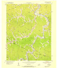
1954 Map of Richardson
USGS Topo · Published 1955About this map
The Chesapeake and Ohio railroad corridor tracks the winding course of the Levisa Fork in this mid-century survey of eastern Kentucky. Small riverside settlements such as Richardson and Whitehouse serve as anchors for a landscape defined by steep ridges and narrow hollows. The area is dense with community landmarks that speak to the local genealogy of the mid-1950s, including Belles Chapel, Borders Chapel, and the Chestnut Grove Ch.
Find a feature on this map
97 named features on this map. Tap any name to fly to it.
Don’t see what you’re looking for? This feature index may not catch every label — zoom into the map to look around manually.
Map Details
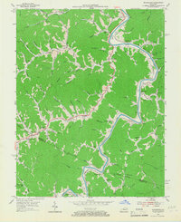
Editions of this 1954 Richardson Map
2 editions found
Other maps of this area

1886 · Prestonsburg
USGS Topo · 1:125,000

1892 · Prestonsburg
USGS Topo · 1:125,000

1903 · Kenova
USGS Topo · 1:125,000

1904 · Kenova
USGS Topo · 1:125,000

1911 · Louisa
USGS Topo · 1:48,000

1913 · Louisa
USGS Topo · 1:62,500

1914 · Inez
USGS Topo · 1:48,000

1915 · Paintsville
USGS Topo · 1:48,000

1916 · Inez
USGS Topo · 1:62,500

1917 · Paintsville
USGS Topo · 1:62,500