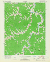
1954 Map of Richardson
USGS Topo · Published 1967About this map
Levisa Fork winds through the heart of this landscape, serving as the primary corridor for the Chesapeake and Ohio railroad and a string of riverside settlements. Small communities like Richardson, Henrietta, and Whitehouse are positioned along the water, while the interior is defined by a dense network of branches and forks including Spaulding Br and Stambaugh Fork. The distribution of rural landmarks indicates a deeply established community structure, with several small schools such as Meade Branch Sch and Lost Creek Sch serving scattered homesteads.
Find a feature on this map
95 named features on this map. Tap any name to fly to it.
Don’t see what you’re looking for? This feature index may not catch every label — zoom into the map to look around manually.
Map Details
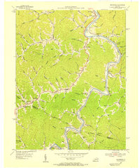
Editions of this 1954 Richardson Map
2 editions found
Other maps of this area

1886 · Prestonsburg
USGS Topo · 1:125,000

1892 · Prestonsburg
USGS Topo · 1:125,000

1903 · Kenova
USGS Topo · 1:125,000

1904 · Kenova
USGS Topo · 1:125,000

1911 · Louisa
USGS Topo · 1:48,000

1913 · Louisa
USGS Topo · 1:62,500

1914 · Inez
USGS Topo · 1:48,000

1915 · Paintsville
USGS Topo · 1:48,000

1916 · Inez
USGS Topo · 1:62,500

1917 · Paintsville
USGS Topo · 1:62,500