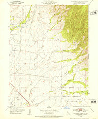
1952 Map of Richardson Springs NW
USGS Topo · Published 1953About this map
Deer Creek and a network of irrigation ditches define the northern agricultural landscape of this 1950s Tehama and Butte County borderland. The area is characterized by a transition from flat lowland farming to the rising foothills, where complex drainage systems like Singer Creek, Rattlesnake Creek, and West Fork Rock Creek carve through the terrain. Evidence of rural infrastructure is prominent, from the U S Auxiliary Airfield in the west to the Live Oak School situated near the Mt Diablo Meridian. The presence of established holdings such as Stephens Ranch and Bell Ranch reflects the mid-century ranching and agrarian economy of the region. Local history researchers will find clear markers of early settlement, including the Carter Cemetery and various numbered benchmarks that trace the development of roads like Lassen Road.
Find a feature on this map
39 named features on this map. Tap any name to fly to it.
Don’t see what you’re looking for? This feature index may not catch every label — zoom into the map to look around manually.
Map Details
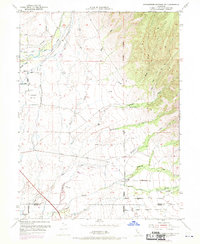
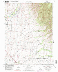
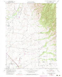
Editions of this 1952 Richardson Springs NW Map
4 editions found
Other maps of this area

1886 · Lassen Peak
USGS Topo · 1:250,000

1890 · Red Bluff
USGS Topo · 1:250,000

1891 · Chico
USGS Topo · 1:125,000

1892 · Lassen Peak
USGS Topo · 1:250,000

1893 · Chico
USGS Topo · 1:125,000

1894 · Lassen Peak
USGS Topo · 1:250,000

1894 · Red Bluff
USGS Topo · 1:250,000

1895 · Chico
USGS Topo · 1:125,000

1904 · Vina
USGS Topo · 1:62,500

1905 · Tehama
USGS Topo · 1:62,500