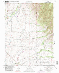
1952 Map of Richardson Springs NW
USGS Topo · Published 1984About this map
Deer Creek and its complex network of irrigation channels, including the Cone Kimball Ditch, define the agricultural landscape north of the Tehama County and Butte County line. Surveyed in the early 1950s with later updates, this map captures the transition from open range to organized ranching, anchored by the Stephens Ranch and Bell Ranch. The presence of the U S Auxiliary Airfield in the west, situated near the Carter Cemetery, reflects mid-century infrastructure and regional aviation needs.
Find a feature on this map
41 named features on this map. Tap any name to fly to it.
Don’t see what you’re looking for? This feature index may not catch every label — zoom into the map to look around manually.
Map Details
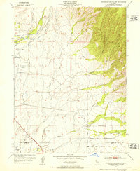
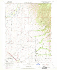
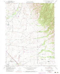
Editions of this 1952 Richardson Springs NW Map
4 editions found
Other maps of this area

1886 · Lassen Peak
USGS Topo · 1:250,000

1890 · Red Bluff
USGS Topo · 1:250,000

1891 · Chico
USGS Topo · 1:125,000

1892 · Lassen Peak
USGS Topo · 1:250,000

1893 · Chico
USGS Topo · 1:125,000

1894 · Lassen Peak
USGS Topo · 1:250,000

1894 · Red Bluff
USGS Topo · 1:250,000

1895 · Chico
USGS Topo · 1:125,000

1904 · Vina
USGS Topo · 1:62,500

1905 · Tehama
USGS Topo · 1:62,500