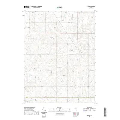
2021 Map of Richfield
USGS Topo · Published 2021About this map
Liberty and Kingston anchor this modern survey of the rural landscape where Adams and Pike counties meet. The area is defined by a dense network of family-named burial grounds, such as the Elmwood Family Cem, Drescher Family Cem, and Baker Family Cem, reflecting generations of local land ownership. These sites are situated among the winding drainages of McCraney Cr and Grindstone Cr, which carve through the agricultural uplands. The southern border of Adams County is marked by a sudden shift in the road grid along N 1st Ave, where the landscape transitions toward the north fork of the Hadley Cr Number 2 Reservoir system. The presence of numerous small cemeteries like Pearce Cem and Broady Cem alongside established settlements like Richfield offers a clear view of the historical settlement patterns that persist into the 21st century.
Find a feature on this map
49 named features on this map. Tap any name to fly to it.
Don’t see what you’re looking for? This feature index may not catch every label — zoom into the map to look around manually.
Map Details
Editions of this 2021 Richfield Map
This is the sole edition of this map. No revisions or reprints were ever made.
Other maps of this area

1925 · Liberty
USGS Topo · 1:62,500

1926 · Pittsfield
USGS Topo · 1:62,500

1926 · Mt Sterling
USGS Topo · 1:62,500

1927 · Liberty
USGS Topo · 1:62,500

1929 · Mt Sterling
USGS Topo · 1:62,500

1931 · Barry
USGS Topo · 1:62,500

1936 · Barry
USGS Topo · 1:48,000

1944 · Barry
USGS Topo · 1:62,500

1948 · Quincy
USGS Topo · 1:250,000

1956 · Quincy
USGS Topo · 1:250,000