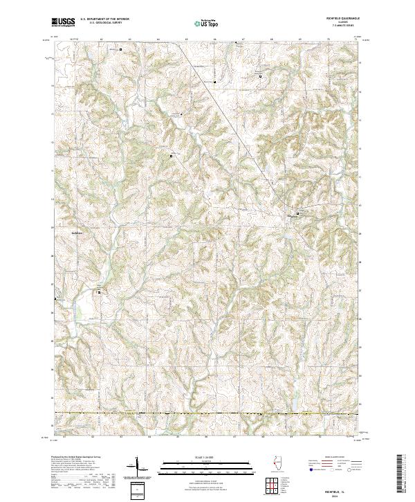
2024 Map of Richfield
USGS Topo · Published 2024About this map
Richfield and Kingston serve as the primary anchors for this rural landscape in Adams County, where the topography is defined by the winding drainages of McCraney Creek and North Fork Hadley Creek. The area is notably dense with small family burial grounds, reflecting a deeply rooted agricultural heritage and genealogical history. These scattered sites, such as the Drescher Family Cem and Elmwood Family Cem, are preserved alongside larger community locations like Kingston Park Cem and Pleasant View Cem.
Find a feature on this map
72 named features on this map. Tap any name to fly to it.
Don’t see what you’re looking for? This feature index may not catch every label — zoom into the map to look around manually.
Map Details
Editions of this 2024 Richfield Map
This is the sole edition of this map. No revisions or reprints were ever made.
Other maps of this area

1925 · Liberty
USGS Topo · 1:62,500

1926 · Pittsfield
USGS Topo · 1:62,500

1926 · Mt Sterling
USGS Topo · 1:62,500

1927 · Liberty
USGS Topo · 1:62,500

1929 · Mt Sterling
USGS Topo · 1:62,500

1931 · Barry
USGS Topo · 1:62,500

1936 · Barry
USGS Topo · 1:48,000

1944 · Barry
USGS Topo · 1:62,500

1948 · Quincy
USGS Topo · 1:250,000

1956 · Quincy
USGS Topo · 1:250,000