
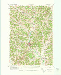
1960 Map of Richland Center
USGS Topo · Published 1961About this map
Richland Center serves as the focal point of this 1960s survey, situated at the confluence of several river valleys including the Pine River and Brush Creek. The landscape is characterized by a dense network of ridges and hollows, such as English Ridge and Pumpkin Hollow, which dictated the placement of early settlements and agricultural tracts. A branch of the Chicago Milwaukee St Paul and Pacific railroad tracks the river southward, connecting the regional center with peripheral communities like Sextonville and Gillingham.
Find a feature on this map
100 named features on this map. Tap any name to fly to it.
Don’t see what you’re looking for? This feature index may not catch every label — zoom into the map to look around manually.
Map Details
Editions of this 1960 Richland Center Map
3 editions found
Other maps of this area

1905 · Richland Center
USGS Topo · 1:125,000

1926 · La Farge
USGS Topo · 1:62,500

1927 · Hillsboro
USGS Topo · 1:62,500

1933 · Boaz
USGS Topo · 1:62,500

1933 · Boscobel
USGS Topo · 1:62,500

1956 · Reedsburg
USGS Topo · 1:62,500

1958 · La Crosse
USGS Topo · 1:250,000

1960 · Plain
USGS Topo · 1:62,500

1960 · Muscoda
USGS Topo · 1:62,500

1960 · Spring Green
USGS Topo · 1:62,500