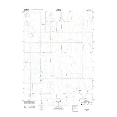
2012 Map of Richland
USGS Topo · Published 2012About this map
The Wakarusa River winds through this section of Shawnee County, defining a landscape marked by rural family legacies and aviation heritage. Several burial grounds, including Pleasant Hill Cem, Richland Cem, and Emmanuel Cem, serve as anchors for genealogical research in this part of Kansas. The settlement of Richland sits near the southern bend of the river, while the community of Watson occupies the northern reaches near the headwaters of Whetstone Cr.
Find a feature on this map
53 named features on this map. Tap any name to fly to it.
Don’t see what you’re looking for? This feature index may not catch every label — zoom into the map to look around manually.
Map Details
Editions of this 2012 Richland Map
This is the sole edition of this map. No revisions or reprints were ever made.
Other maps of this area

1885 · Lawrence
USGS Topo · 1:125,000

1886 · Oskaloosa
USGS Topo · 1:125,000

1888 · Oskaloosa
USGS Topo · 1:125,000

1889 · Burlingame
USGS Topo · 1:125,000

1889 · Topeka
USGS Topo · 1:125,000

1889 · Lawrence
USGS Topo · 1:125,000

1894 · Burlingame
USGS Topo · 1:125,000

1894 · Oskaloosa
USGS Topo · 1:125,000

1894 · Topeka
USGS Topo · 1:125,000

1947 · Lawrence
USGS Topo · 1:250,000