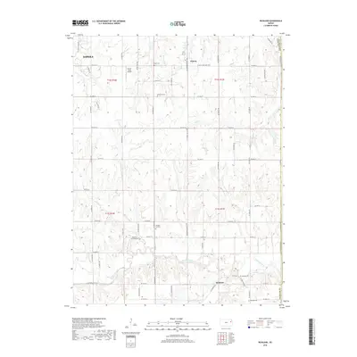
2018 Map of Richland
USGS Topo · Published 2018About this map
The Wakarusa River valley southeast of Topeka defines this portion of Shawnee County, showing a landscape of rolling terrain carved by numerous tributaries. Small rural communities like Watson and agricultural hubs are connected by a grid of section-line roads, including SE Shawnee Heights Rd and SE Croco Rd. The map is particularly valuable for genealogical research, documenting several local burial grounds such as Bauer Cem, Emmanuel Cem, and Richland Cem. Evidence of mid-century aviation infrastructure appears at the Sunset Strip Airpark and Starshire Farm Airport. Watercourses like Stinson Cr, Tecumseh Cr, and Deer Cr illustrate the drainage patterns into the primary river valley, while the presence of Camp Creek Rd near the southern boundary suggests the historical importance of the winding Camp Cr.
Find a feature on this map
55 named features on this map. Tap any name to fly to it.
Don’t see what you’re looking for? This feature index may not catch every label — zoom into the map to look around manually.
Map Details
Editions of this 2018 Richland Map
This is the sole edition of this map. No revisions or reprints were ever made.
Other maps of this area

1885 · Lawrence
USGS Topo · 1:125,000

1886 · Oskaloosa
USGS Topo · 1:125,000

1888 · Oskaloosa
USGS Topo · 1:125,000

1889 · Burlingame
USGS Topo · 1:125,000

1889 · Topeka
USGS Topo · 1:125,000

1889 · Lawrence
USGS Topo · 1:125,000

1894 · Burlingame
USGS Topo · 1:125,000

1894 · Oskaloosa
USGS Topo · 1:125,000

1894 · Topeka
USGS Topo · 1:125,000

1947 · Lawrence
USGS Topo · 1:250,000