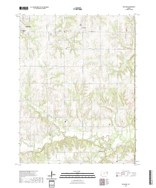
2022 Map of Richland
USGS Topo · Published 2022About this map
The Wakarusa River meanders across this rural landscape southeast of Topeka, defining a territory where agricultural traditions meet modern aviation. The settlement of Richland occupies the southern reaches near the river, while the small community of Watson anchors the northern section. This area is heavily dissected by numerous watercourses, including Deer Cr, Tecumseh Cr, and Whetstone Cr, which have shaped the local topography and placement of rural homesteads.
Find a feature on this map
56 named features on this map. Tap any name to fly to it.
Don’t see what you’re looking for? This feature index may not catch every label — zoom into the map to look around manually.
Map Details
Editions of this 2022 Richland Map
This is the sole edition of this map. No revisions or reprints were ever made.
Other maps of this area

1885 · Lawrence
USGS Topo · 1:125,000

1886 · Oskaloosa
USGS Topo · 1:125,000

1888 · Oskaloosa
USGS Topo · 1:125,000

1889 · Burlingame
USGS Topo · 1:125,000

1889 · Topeka
USGS Topo · 1:125,000

1889 · Lawrence
USGS Topo · 1:125,000

1894 · Burlingame
USGS Topo · 1:125,000

1894 · Oskaloosa
USGS Topo · 1:125,000

1894 · Topeka
USGS Topo · 1:125,000

1947 · Lawrence
USGS Topo · 1:250,000