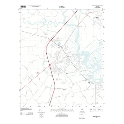
2011 Map of Richmond Hill
USGS Topo · Published 2011About this map
Richmond Hill sits at the heart of this coastal Georgia landscape, where the meandering Ogeechee River and Canoochee River define the local geography. The map reveals a high density of burial sites that reflect the area's long residential history, including Gun Hill Cemetery, Bethlehem Cemetery, and Burnt Church Cemetery. Small settlements like Brisbon, Port Royal, and Rabbit Hill are situated among a complex network of canals such as Peachtree Canal and Valambrosia Canal, which speak to the historic irrigation and drainage patterns of the coastal lowlands.
Find a feature on this map
64 named features on this map. Tap any name to fly to it.
Don’t see what you’re looking for? This feature index may not catch every label — zoom into the map to look around manually.
Map Details
Editions of this 2011 Richmond Hill Map
This is the sole edition of this map. No revisions or reprints were ever made.
Other maps of this area

1920 · Meldrim
USGS Topo · 1:62,500

1920 · Limerick
USGS Topo · 1:62,500

1942 · Meldrim
USGS Topo · 1:62,500

1942 · Savannah
USGS Topo · 1:62,500

1944 · Limerick
USGS Topo · 1:62,500

1944 · Ossabaw Island
USGS Topo · 1:62,500

1945 · Ossabaw Island
USGS Topo · 1:62,500

1946 · Brunswick
USGS Topo · 1:250,000

1947 · Savannah
USGS Topo · 1:250,000

1948 · Brunswick
USGS Topo · 1:250,000