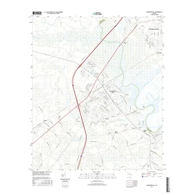
2017 Map of Richmond Hill
USGS Topo · Published 2017About this map
The Ogeechee River and its expansive wetlands dominate this corner of the Georgia coast, where the historic Richmond Hill settlement anchors the high ground. The landscape is defined by its industrial and agricultural waterworks, including the Peachtree Canal, Valambrosia Canal, and Walker Canal, which reach into the lowlands toward Ford Island. These waterways reflect the legacy of coastal land management in Bryan and Chatham counties.
Find a feature on this map
159 named features on this map. Tap any name to fly to it.
Don’t see what you’re looking for? This feature index may not catch every label — zoom into the map to look around manually.
Map Details
Editions of this 2017 Richmond Hill Map
This is the sole edition of this map. No revisions or reprints were ever made.
Other maps of this area

1920 · Meldrim
USGS Topo · 1:62,500

1920 · Limerick
USGS Topo · 1:62,500

1942 · Meldrim
USGS Topo · 1:62,500

1942 · Savannah
USGS Topo · 1:62,500

1944 · Limerick
USGS Topo · 1:62,500

1944 · Ossabaw Island
USGS Topo · 1:62,500

1945 · Ossabaw Island
USGS Topo · 1:62,500

1946 · Brunswick
USGS Topo · 1:250,000

1947 · Savannah
USGS Topo · 1:250,000

1948 · Brunswick
USGS Topo · 1:250,000