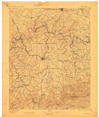
1897 Map of Richmond
USGS Topo · Published 1923About this map
The Kentucky River carves a deep, winding path through the Bluegrass region on this 1890s survey, separating the burgeoning rail hubs of Winchester and Richmond. The landscape is defined by the era's transport network, where the Chesapeake and Ohio R.R. and the Louisville and Nashville R.R. bisect established agricultural communities. Riverside settlements like Boonesboro and Valley View highlight the historical importance of the river as a corridor, even as steam power shifted growth toward the interior. The map reveals a transition into the Knobs at the southern edge, where landmarks like Combs Mtn. and Joe Lick Knob rise above the drainage basins of Silver Creek and Paint Lick Creek. For those tracing local history, the documentation of rural locations like White Hall and Rice Sta. provides a clear view of the pre-motorized social geography of central Kentucky.
Find a feature on this map
180 named features on this map. Tap any name to fly to it.
Don’t see what you’re looking for? This feature index may not catch every label — zoom into the map to look around manually.
Map Details
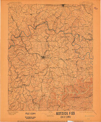
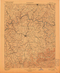
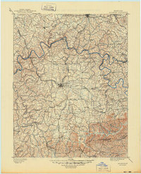
Editions of this 1897 Richmond Map
5 editions found
Other maps of this area

1891 · Manchester
USGS Topo · 1:125,000

1892 · Richmond
USGS Topo · 1:125,000

1892 · Beattyville
USGS Topo · 1:125,000

1893 · London
USGS Topo · 1:125,000

1897 · Richmond
USGS Topo · 1:125,000

1897 · London
USGS Topo · 1:125,000

1905 · Harrodsburg
USGS Topo · 1:125,000

1906 · Georgetown
USGS Topo · 1:62,500

1908 · Georgetown
USGS Topo · 1:62,500

1927 · Lexington
USGS Topo · 1:48,000