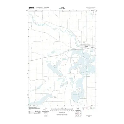
2010 Map of Richmond
USGS Topo · Published 2010About this map
The Sauk River meanders through the heart of this landscape, anchoring the city of Richmond and its surrounding network of glacial lakes. In the early 21st century, the region's character is defined by a dense cluster of interconnected water bodies, including the sprawling Horseshoe Lake, Big Lake, and Cedar Island Lake. This intricate aquatic system is complemented by local landmarks such as the Saints Peter and Paul Cemetery and the Richmond Post Office, which serve as focal points for the community's history and infrastructure. The map reveals a transition toward recreation-based land use, evidenced by the presence of sites like Morning Star Resort Campground and Your Haven Campground scattered among the lakes and bays. Agricultural and residential grid roads like County Hwy-23 and Golden Rod Rd frame the rural reaches between the many named waters, such as Pirz Lake and Browns Lake.
Find a feature on this map
74 named features on this map. Tap any name to fly to it.
Don’t see what you’re looking for? This feature index may not catch every label — zoom into the map to look around manually.
Map Details
Editions of this 2010 Richmond Map
This is the sole edition of this map. No revisions or reprints were ever made.
Other maps of this area

1953 · Saint Cloud
USGS Topo · 1:250,000

1957 · Saint Cloud
USGS Topo · 1:250,000

1958 · Saint Cloud
USGS Topo · 1:250,000

1965 · Farming
USGS Topo · 1:24,000

1965 · St Martin
USGS Topo · 1:24,000

1965 · Avon
USGS Topo · 1:24,000

1967 · Cold Spring
USGS Topo · 1:24,000

1967 · Paynesville
USGS Topo · 1:24,000

1967 · Lake Koronis
USGS Topo · 1:24,000

1967 · Richmond
USGS Topo · 1:24,000