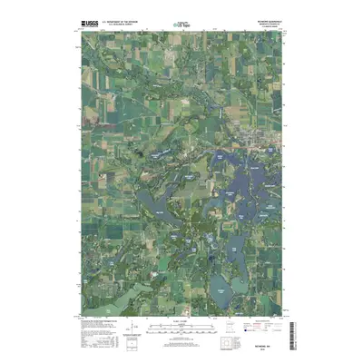
2016 Map of Richmond
USGS Topo · Published 2016About this map
The Sauk River meanders through this portion of Stearns County, feeding a complex network of glacial lakes and wetlands that define the local geography. The city of Richmond serves as the primary settlement, positioned along the river where several township and county roads converge. This 2016 survey highlights the significant water resources of the area, including the sprawling Cedar Island Lake, Horseshoe Lake, and Big Lake. These interconnected bodies of water, along with smaller features like Krons Bay and East Lake, illustrate the region's character as a dense lake district.
Find a feature on this map
107 named features on this map. Tap any name to fly to it.
Don’t see what you’re looking for? This feature index may not catch every label — zoom into the map to look around manually.
Map Details
Editions of this 2016 Richmond Map
This is the sole edition of this map. No revisions or reprints were ever made.
Other maps of this area

1953 · Saint Cloud
USGS Topo · 1:250,000

1957 · Saint Cloud
USGS Topo · 1:250,000

1958 · Saint Cloud
USGS Topo · 1:250,000

1965 · Farming
USGS Topo · 1:24,000

1965 · St Martin
USGS Topo · 1:24,000

1965 · Avon
USGS Topo · 1:24,000

1967 · Cold Spring
USGS Topo · 1:24,000

1967 · Paynesville
USGS Topo · 1:24,000

1967 · Lake Koronis
USGS Topo · 1:24,000

1967 · Richmond
USGS Topo · 1:24,000