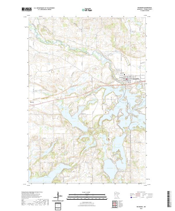
2022 Map of Richmond
USGS Topo · Published 2022About this map
The Sauk River winds through the northern reaches of this Stearns County landscape, anchoring the community of Richmond. This region is defined by a dense concentration of glacial basins, creating a complex network of interconnected water bodies such as Horseshoe Lake, Cedar Island Lake, and Long Lake. These lakes, along with smaller features like Pirz Lake and Meyers Lake, dictate the local road patterns and settlement layout.
Find a feature on this map
82 named features on this map. Tap any name to fly to it.
Don’t see what you’re looking for? This feature index may not catch every label — zoom into the map to look around manually.
Map Details
Editions of this 2022 Richmond Map
This is the sole edition of this map. No revisions or reprints were ever made.
Other maps of this area

1953 · Saint Cloud
USGS Topo · 1:250,000

1957 · Saint Cloud
USGS Topo · 1:250,000

1958 · Saint Cloud
USGS Topo · 1:250,000

1965 · Farming
USGS Topo · 1:24,000

1965 · St Martin
USGS Topo · 1:24,000

1965 · Avon
USGS Topo · 1:24,000

1967 · Cold Spring
USGS Topo · 1:24,000

1967 · Paynesville
USGS Topo · 1:24,000

1967 · Lake Koronis
USGS Topo · 1:24,000

1967 · Richmond
USGS Topo · 1:24,000