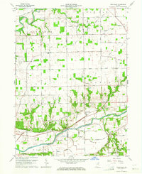
1963 Map of Richvalley
USGS Topo · Published 1964About this map
The Wabash River and the Eel River frame a landscape of organized agriculture and riverfront settlements in the early 1960s. The village of Richvalley serves as a primary hub, situated where the Wabash Railroad runs parallel to the water through Noble and Erie townships. This river-and-rail corridor supported small communities like Gilbert and Asher, while the surrounding tableland is crisscrossed by a grid of family-named roads, including Flora Road and Higley Road.
Find a feature on this map
43 named features on this map. Tap any name to fly to it.
Don’t see what you’re looking for? This feature index may not catch every label — zoom into the map to look around manually.
Map Details
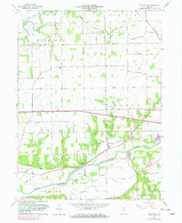
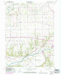
Editions of this 1963 Richvalley Map
3 editions found
Other maps of this area

1951 · Peru
USGS Topo · 1:24,000

1951 · Bunker Hill
USGS Topo · 1:24,000

1951 · Richvalley
USGS Topo · 1:24,000

1952 · Wabash
USGS Topo · 1:24,000

1953 · Somerset
USGS Topo · 1:24,000

1953 · Peoria
USGS Topo · 1:24,000

1953 · Danville
USGS Topo · 1:250,000

1953 · Muncie
USGS Topo · 1:250,000

1955 · Danville
USGS Topo · 1:250,000

1956 · Muncie
USGS Topo · 1:250,000