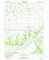
1963 Map of Richvalley
USGS Topo · Published 1982About this map
The Wabash River and Eel River define the hydraulic character of this Indiana landscape, where the confluence of river systems and rail lines historically shaped the growth of small settlements like Richvalley and Erie. The corridor of the Norfolk and Western railroad runs parallel to the Wabash, connecting agricultural hubs and transit points. This 1963 revision, updated with 1981 photogrammetric data, reveals a transition toward modern land use with the appearance of the Trailer Park near Richvalley and a Roadside Park along the highway. Genealogists will find significant value in the burial grounds scattered across the townships, including the Francis Godfroy Cem and the Shambaugh Cem. The landscape is further marked by a dense network of drainage works such as Beamer Ditch and Stauffer Ditch, which converted the natural wetlands into the productive farmsteads that occupy Richland and Noble townships.
Find a feature on this map
59 named features on this map. Tap any name to fly to it.
Don’t see what you’re looking for? This feature index may not catch every label — zoom into the map to look around manually.
Map Details
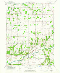
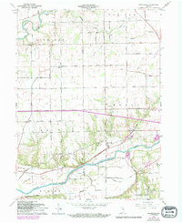
Editions of this 1963 Richvalley Map
3 editions found
Other maps of this area

1951 · Peru
USGS Topo · 1:24,000

1951 · Bunker Hill
USGS Topo · 1:24,000

1951 · Richvalley
USGS Topo · 1:24,000

1952 · Wabash
USGS Topo · 1:24,000

1953 · Somerset
USGS Topo · 1:24,000

1953 · Peoria
USGS Topo · 1:24,000

1953 · Danville
USGS Topo · 1:250,000

1953 · Muncie
USGS Topo · 1:250,000

1955 · Danville
USGS Topo · 1:250,000

1956 · Muncie
USGS Topo · 1:250,000