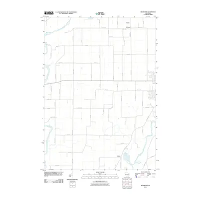
2010 Map of Richwood
USGS Topo · Published 2010About this map
Richwood and Grellton anchor this Dodge and Jefferson County landscape, where the confluence of several major waterways dictates the layout of local infrastructure. The Rock River flows through the southeastern corner, while the Crawfish River and Beaver Dam River meander through the western and northern sections. This hydrologic network is punctuated by Hahns Lake and Mud Lake, creating a pocketed geography of wetlands and river bends. The rectangular road grid, featuring routes like County Hwy-Q and County Hwy-T, occasionally breaks to accommodate the winding riverbanks. For genealogists, the Richwood Cemetery stands as a primary landmark for tracing early families in this agricultural region. The map captures a moment when traditional township lines and family-named roads like Welsh Rd and Walton Rd remain the primary identifiers of local heritage.
Find a feature on this map
51 named features on this map. Tap any name to fly to it.
Don’t see what you’re looking for? This feature index may not catch every label — zoom into the map to look around manually.
Map Details
Editions of this 2010 Richwood Map
This is the sole edition of this map. No revisions or reprints were ever made.
Other maps of this area

1891 · Waterloo
USGS Topo · 1:62,500

1892 · Watertown
USGS Topo · 1:62,500

1894 · Waterloo
USGS Topo · 1:62,500

1894 · Watertown
USGS Topo · 1:62,500

1910 · Waterloo
USGS Topo · 1:62,500

1955 · Beaver Dam
USGS Topo · 1:62,500

1955 · Horicon
USGS Topo · 1:62,500

1957 · Madison
USGS Topo · 1:250,000
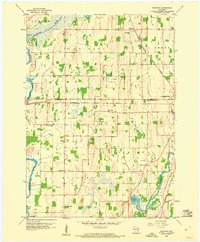
1959 · Richwood
USGS Topo · 1:24,000
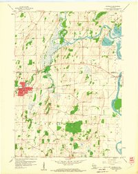
1959 · Waterloo
USGS Topo · 1:24,000