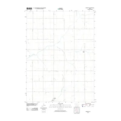
2010 Map of Ricketts
USGS Topo · Published 2010About this map
Ricketts serves as the primary hub for this agricultural landscape in western Iowa, with the Ricketts Post Office anchoring the small town center near the confluence of local drainage ways. The terrain is defined by the winding paths of the Soldier River and the Middle Soldier River, which cut through the systematically gridded section lines of the rural township. This 2010 survey reflects a deeply established agrarian layout where named thoroughfares like Carriage Ave and German Ave provide access to the expansive farmsteads between the river valleys.
Find a feature on this map
27 named features on this map. Tap any name to fly to it.
Don’t see what you’re looking for? This feature index may not catch every label — zoom into the map to look around manually.
Map Details
Editions of this 2010 Ricketts Map
This is the sole edition of this map. No revisions or reprints were ever made.
Other maps of this area

1954 · Fort Dodge
USGS Topo · 1:250,000

1957 · Fort Dodge
USGS Topo · 1:250,000

1958 · Fort Dodge
USGS Topo · 1:250,000

1967 · Ida Grove
USGS Topo · 1:24,000

1967 · Battle Creek
USGS Topo · 1:24,000

1969 · Danbury
USGS Topo · 1:24,000

1969 · Holstein SW
USGS Topo · 1:24,000

1971 · Ricketts
USGS Topo · 1:24,000

1971 · Ute
USGS Topo · 1:24,000

1971 · Schleswig
USGS Topo · 1:24,000