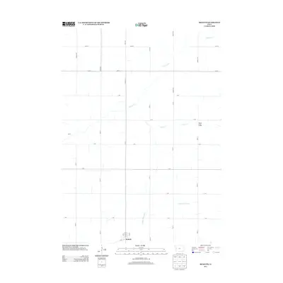
2013 Map of Ricketts
USGS Topo · Published 2013About this map
Ricketts serves as the primary hub of activity in this section of Crawford County, where the street grid is clearly defined by landmarks such as Ash St, Elm St, and 1st St. The surrounding landscape is characterized by a precise network of sectional roads, including Carriage Ave and German Ave, which facilitate movement through the agricultural terrain. Waterways dictate the natural topography, with the Soldier River and its tributary, Beaver Cr, cutting through the farmland. A notable engineering point is the Beaver Creek Bridge located on 180th St, which provides a vital crossing over the creek. The settlement of Adrian further illustrates the dispersed nature of local residence, connected by long straightaways like 320th St and D Ave. This survey demonstrates the orderly division of the Iowa prairie into managed plots and established rural communities.
Find a feature on this map
32 named features on this map. Tap any name to fly to it.
Don’t see what you’re looking for? This feature index may not catch every label — zoom into the map to look around manually.
Map Details
Editions of this 2013 Ricketts Map
This is the sole edition of this map. No revisions or reprints were ever made.
Other maps of this area

1954 · Fort Dodge
USGS Topo · 1:250,000

1957 · Fort Dodge
USGS Topo · 1:250,000

1958 · Fort Dodge
USGS Topo · 1:250,000

1967 · Ida Grove
USGS Topo · 1:24,000

1967 · Battle Creek
USGS Topo · 1:24,000

1969 · Danbury
USGS Topo · 1:24,000

1969 · Holstein SW
USGS Topo · 1:24,000

1971 · Ricketts
USGS Topo · 1:24,000

1971 · Ute
USGS Topo · 1:24,000

1971 · Schleswig
USGS Topo · 1:24,000