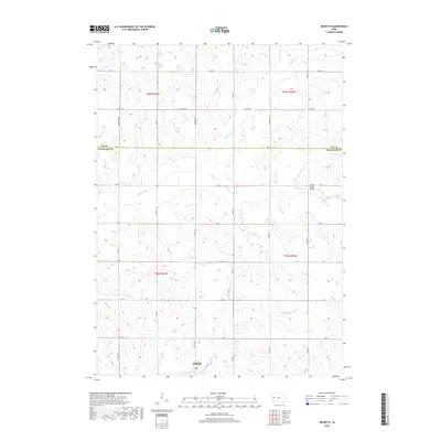
2018 Map of Ricketts
USGS Topo · Published 2018About this map
The town of Ricketts is the primary settlement on this Crawford County landscape, situated where Co Hwy L51 meets the Middle Soldier River. The region is defined by a dense network of watercourses and section-line roads, with the Soldier River cutting across the northern half and the Beaver Cr flowing eastward through the center. A notable local landmark is the Beaver Creek Bridge, which facilitates crossing near the boundary between Ida and Crawford Counties.
Find a feature on this map
30 named features on this map. Tap any name to fly to it.
Don’t see what you’re looking for? This feature index may not catch every label — zoom into the map to look around manually.
Map Details
Editions of this 2018 Ricketts Map
This is the sole edition of this map. No revisions or reprints were ever made.
Other maps of this area

1954 · Fort Dodge
USGS Topo · 1:250,000

1957 · Fort Dodge
USGS Topo · 1:250,000

1958 · Fort Dodge
USGS Topo · 1:250,000

1967 · Ida Grove
USGS Topo · 1:24,000

1967 · Battle Creek
USGS Topo · 1:24,000

1969 · Danbury
USGS Topo · 1:24,000

1969 · Holstein SW
USGS Topo · 1:24,000

1971 · Ricketts
USGS Topo · 1:24,000

1971 · Ute
USGS Topo · 1:24,000

1971 · Schleswig
USGS Topo · 1:24,000