
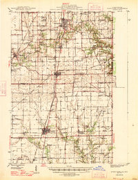
1947 Map of Ridge Farm
USGS Topo · Published 1947About this map
The Illinois Terminal RR and Chicago and Eastern Illinois RR anchor the industrial and social landscape of this post-war Illinois-Indiana border region. Centered on Ridge Farm, the map reveals a dense network of agricultural settlements and transport hubs, from the larger town of Georgetown in the north to Chrisman in the south. The rural character is defined by a high concentration of local institutions, including dozens of country schoolhouses such as Baum Sch and Prairie Union Sch, and spiritual centers like Friends Ch and Wesley Chapel.
Find a feature on this map
75 named features on this map. Tap any name to fly to it.
Don’t see what you’re looking for? This feature index may not catch every label — zoom into the map to look around manually.
Map Details
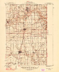
Editions of this 1947 Ridge Farm Map
3 editions found
Other maps of this area

1899 · Danville
USGS Topo · 1:62,500

1900 · Danville
USGS Topo · 1:62,500

1931 · Fithian
USGS Topo · 1:48,000

1943 · Fithian
USGS Topo · 1:62,500

1946 · Kansas
USGS Topo · 1:62,500

1947 · Paris
USGS Topo · 1:62,500

1949 · Kansas
USGS Topo · 1:62,500

1949 · Paris
USGS Topo · 1:62,500

1949 · Danville SW
USGS Topo · 1:24,000

1950 · Danville SW
USGS Topo · 1:24,000