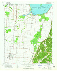
1964 Map of Ridgely
USGS Topo · Published 1965About this map
Reelfoot Lake and its surrounding wetlands dominate this 1964 landscape, illustrating a complex hydraulic system of spillways, levees, and floodgates designed to manage the Blue Basin. The area is a mosaic of conservation and agriculture, featuring the Lake Isom National Wildlife Refuge alongside the Reelfoot State Wildlife Management Area. Human settlement is anchored by Ridgely and Tiptonville, connected by the Illinois Central railroad corridor.
Find a feature on this map
45 named features on this map. Tap any name to fly to it.
Don’t see what you’re looking for? This feature index may not catch every label — zoom into the map to look around manually.
Map Details
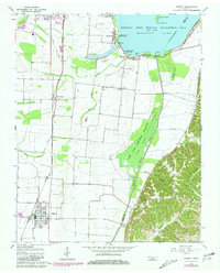
Editions of this 1964 Ridgely Map
2 editions found
Other maps of this area

1925 · Reelfoot Lake
USGS Topo · 1:62,500

1939 · Reelfoot Lake
USGS Topo · 1:62,500

1939 · Portageville
USGS Topo · 1:62,500

1939 · Dyersburg
USGS Topo · 1:62,500

1939 · Caruthersville
USGS Topo · 1:62,500

1951 · Caruthersville
USGS Topo · 1:62,500

1952 · Lane
USGS Topo · 1:24,000

1952 · Miston
USGS Topo · 1:24,000

1955 · Portageville
USGS Topo · 1:62,500

1956 · Reelfoot Lake
USGS Topo · 1:62,500