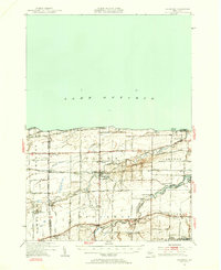
1950 Map of Ridgeway
USGS Topo · Published 1956About this map
Lake Ontario defines the northern reaches of this Orleans County landscape, where the shoreline is punctuated by Thirtymile Pt and its Lighthouse. Moving inland, the terrain reveals a dense network of fruit-growing country and small hamlets connected by the New York Central railroad and historic thoroughfares like the Roosevelt Highway and Ridge Road. Major waterways such as Oak Orchard Creek and Johnson Creek cut through the townships of Yates and Carlton, leading toward the southern edge where the Erie Canal serves as a primary industrial landmark. The map detail highlights rural community life through numerous rural schoolhouses, including School No 10 and School No 16, alongside several burial grounds like St Patricks Cem and Oak Orchard Cem that serve as essential markers for local family history.
Find a feature on this map
58 named features on this map. Tap any name to fly to it.
Don’t see what you’re looking for? This feature index may not catch every label — zoom into the map to look around manually.
Map Details
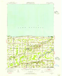
Editions of this 1950 Ridgeway Map
2 editions found
Other maps of this area

1897 · Albion
USGS Topo · 1:62,500

1897 · Olcott
USGS Topo · 1:62,500

1897 · Medina
USGS Topo · 1:62,500

1897 · Lockport
USGS Topo · 1:62,500

1897 · Oak Orchard
USGS Topo · 1:62,500

1897 · Ridgeway
USGS Topo · 1:62,500

1899 · Niagara
USGS Topo · 1:125,000

1902 · Lockport
USGS Topo · 1:62,500

1905 · Lockport
USGS Topo · 1:62,500

1944 · Ashwood
USGS Topo · 1:31,680