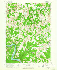
1963 Map of Rimersburg
USGS Topo · Published 1965About this map
Rimersburg stands as a focal point in this early 1960s survey of the Clarion and Armstrong county borderlands, where the landscape is defined by the sharp bends of the Allegheny River and a network of deep-cut runs. The area reveals a complex economy of industry and community, from the legacy of iron production at Sarah Furnace to the active extraction at Strip Mines and the Blue Goose Mine. Along the waterways, older sites like Kissingers Mill on Toby Run contrast with recreational spots like the Cherry Run Campground.
Find a feature on this map
37 named features on this map. Tap any name to fly to it.
Don’t see what you’re looking for? This feature index may not catch every label — zoom into the map to look around manually.
Map Details
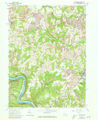
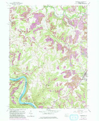
Editions of this 1963 Rimersburg Map
3 editions found
Other maps of this area

1900 · Kittanning
USGS Topo · 1:62,500

1901 · Rural Valley
USGS Topo · 1:62,500

1902 · Kittanning
USGS Topo · 1:62,500

1903 · Rural Valley
USGS Topo · 1:62,500

1906 · Clarion
USGS Topo · 1:62,500

1907 · Clarion
USGS Topo · 1:62,500

1907 · Foxburg
USGS Topo · 1:62,500

1908 · Foxburg
USGS Topo · 1:62,500

1953 · Pittsburgh
USGS Topo · 1:250,000

1954 · Pittsburgh
USGS Topo · 1:250,000