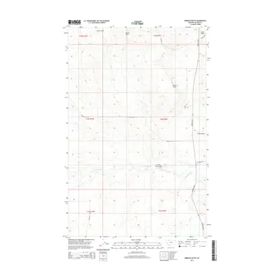
2014 Map of Rimrock Butte
USGS Topo · Published 2014About this map
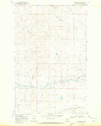
Rimrock Butte and Square Butte dominate the high ground of this northern Montana landscape, where the prairie is carved by a network of drainage channels. The most prominent of these is Cut Bank Creek, which meanders across the lower third of the quadrangle, joined by the Cut Bank John Coulee. This 2014 survey reveals a sparsely populated ranching or agricultural environment defined by its section lines and local transit routes.
Find a feature on this map
19 named features on this map. Tap any name to fly to it.
Don’t see what you’re looking for? This feature index may not catch every label — zoom into the map to look around manually.
Map Details
Editions of this 2014 Rimrock Butte Map
This is the sole edition of this map. No revisions or reprints were ever made.
Other maps of this area

1911 · Blackfoot
USGS Topo · 1:125,000

1960 · Cut Bank
USGS Topo · 1:250,000

1963 · Cut Bank
USGS Topo · 1:250,000

1964 · Cut Bank
USGS Topo · 1:250,000

1968 · Buffalo Lake
USGS Topo · 1:24,000

1968 · Rimrock Butte
USGS Topo · 1:24,000
1968 · Kipp Lake
USGS Topo · 1:24,000
1968 · Mission Lake West
USGS Topo · 1:24,000
1968 · Blackfoot
USGS Topo · 1:24,000
1968 · Fort Piegan
USGS Topo · 1:24,000