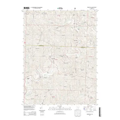
2013 Map of Rinard Mills
USGS Topo · Published 2013About this map
The Little Muskingum River meanders through a landscape of steep ridges and narrow hollows, defining the life and transit of southeastern Ohio. This region is characterized by a high density of family and community burial grounds, such as the Ludlow Catholic Cem, German Cem, and Mt Hope Cem, reflecting the early settler genealogy of the Appalachian foothills. Settlement clusters are often tied to river crossings, notably marked by the Knowlton Bridge and the Rinard Covered Bridge.
Find a feature on this map
64 named features on this map. Tap any name to fly to it.
Don’t see what you’re looking for? This feature index may not catch every label — zoom into the map to look around manually.
Map Details
Editions of this 2013 Rinard Mills Map
This is the sole edition of this map. No revisions or reprints were ever made.
Other maps of this area

1903 · Macksburg
USGS Topo · 1:62,500

1904 · Marietta
USGS Topo · 1:62,500

1905 · New Matamoras
USGS Topo · 1:62,500

1905 · Macksburg
USGS Topo · 1:62,500

1906 · Saint Marys
USGS Topo · 1:62,500

1924 · St Marys
USGS Topo · 1:62,500

1924 · New Matamoras
USGS Topo · 1:62,500

1924 · Marietta
USGS Topo · 1:62,500

1926 · New Matamoras
USGS Topo · 1:62,500

1927 · Marietta
USGS Topo · 1:62,500