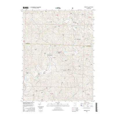
2016 Map of Rinard Mills
USGS Topo · Published 2016About this map
The Little Muskingum River carves through the southeast corner of Ohio, defining the geography of this portion of the Wayne National Forest. Local infrastructure is anchored by historic crossings, most notably the Rinard Covered Bridge and Knowlton Bridge, reflecting a landscape once dependent on these river passages. Small settlements such as Rinard Mills, Bloomfield, and Hohman are positioned along the winding valley floors and ridges, often marked by community landmarks like the Muskingum Valley Baptist Cem or the Ludlow Catholic Cem. A complex system of trails, including the Archers Fork Loop Trail and the Covered Bridge Trail, weaves between topographic features like Armstrong Ridge and English Hill, documenting the modern recreational use of this wooded terrain alongside its older agricultural and residential roots.
Find a feature on this map
69 named features on this map. Tap any name to fly to it.
Don’t see what you’re looking for? This feature index may not catch every label — zoom into the map to look around manually.
Map Details
Editions of this 2016 Rinard Mills Map
This is the sole edition of this map. No revisions or reprints were ever made.
Other maps of this area

1903 · Macksburg
USGS Topo · 1:62,500

1904 · Marietta
USGS Topo · 1:62,500

1905 · New Matamoras
USGS Topo · 1:62,500

1905 · Macksburg
USGS Topo · 1:62,500

1906 · Saint Marys
USGS Topo · 1:62,500

1924 · St Marys
USGS Topo · 1:62,500

1924 · New Matamoras
USGS Topo · 1:62,500

1924 · Marietta
USGS Topo · 1:62,500

1926 · New Matamoras
USGS Topo · 1:62,500

1927 · Marietta
USGS Topo · 1:62,500