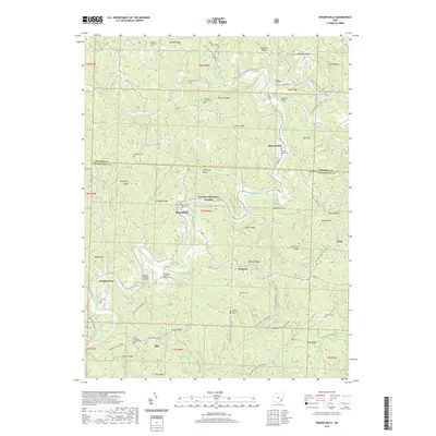
2019 Map of Rinard Mills
USGS Topo · Published 2019About this map
Rinard Mills and its namesake Rinard Mills Cem anchor this landscape along the Little Muskingum River near the border of Monroe and Washington counties. This modern topographic view documents the preservation of the area's timber-frame heritage, specifically the Rinard Covered Bridge and the Knowlton Bridge. The terrain is characterized by a series of narrow ridges and hollows, including Armstrong Ridge and Graham Ridge, much of which is protected within the Wayne National Forest.
Find a feature on this map
74 named features on this map. Tap any name to fly to it.
Don’t see what you’re looking for? This feature index may not catch every label — zoom into the map to look around manually.
Map Details
Editions of this 2019 Rinard Mills Map
This is the sole edition of this map. No revisions or reprints were ever made.
Other maps of this area

1903 · Macksburg
USGS Topo · 1:62,500

1904 · Marietta
USGS Topo · 1:62,500

1905 · New Matamoras
USGS Topo · 1:62,500

1905 · Macksburg
USGS Topo · 1:62,500

1906 · Saint Marys
USGS Topo · 1:62,500

1924 · St Marys
USGS Topo · 1:62,500

1924 · New Matamoras
USGS Topo · 1:62,500

1924 · Marietta
USGS Topo · 1:62,500

1926 · New Matamoras
USGS Topo · 1:62,500

1927 · Marietta
USGS Topo · 1:62,500