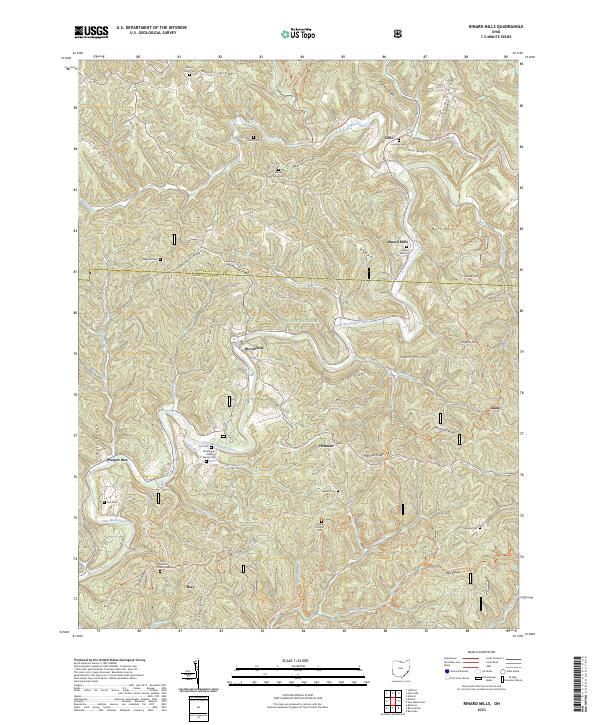
2023 Map of Rinard Mills
USGS Topo · Published 2023About this map
The Little Muskingum River carves a winding path through this corner of the Wayne National Forest, where the border between Monroe and Washington counties follows the high ridgelines. Small valley settlements such as Rinard Mills and Bloomfield serve as anchors for a landscape defined by its complex topography, including named heights like Griffin Ridge and Edwards Hill. The mapping of these drainages, from Witten Run to Archers Fork, reveals a deeply dissected terrain that influenced the placement of early infrastructure and family homesteads.
Find a feature on this map
76 named features on this map. Tap any name to fly to it.
Don’t see what you’re looking for? This feature index may not catch every label — zoom into the map to look around manually.
Map Details
Editions of this 2023 Rinard Mills Map
This is the sole edition of this map. No revisions or reprints were ever made.
Other maps of this area

1903 · Macksburg
USGS Topo · 1:62,500

1904 · Marietta
USGS Topo · 1:62,500

1905 · New Matamoras
USGS Topo · 1:62,500

1905 · Macksburg
USGS Topo · 1:62,500

1906 · Saint Marys
USGS Topo · 1:62,500

1924 · St Marys
USGS Topo · 1:62,500

1924 · New Matamoras
USGS Topo · 1:62,500

1924 · Marietta
USGS Topo · 1:62,500

1926 · New Matamoras
USGS Topo · 1:62,500

1927 · Marietta
USGS Topo · 1:62,500