Loading...
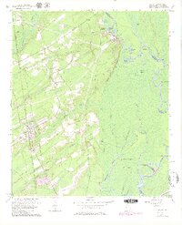
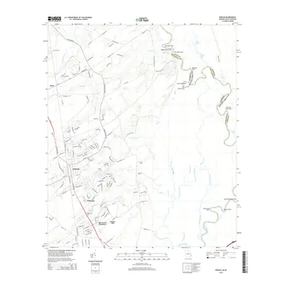
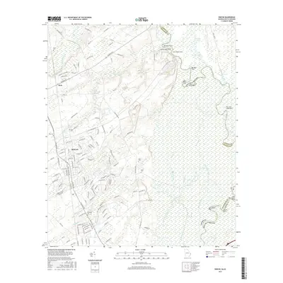
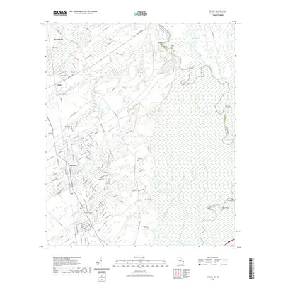
Loading map...1962 Map of Rincon
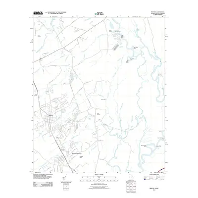
USGS Topo · Published 1980About this map
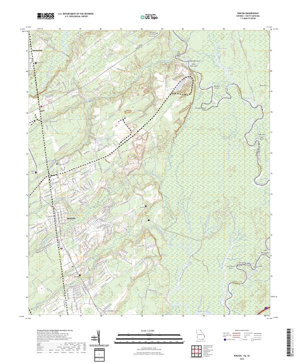
The Seaboard Coast Line railroad anchors the growing settlement of Rincon, serving as a primary corridor through the lowlands of Effingham County. This landscape is defined by the winding course of the Savannah River, where complex waterways like Abercorn Creek and Bear Creek create a labyrinth of swampy terrain and named landforms including Abercorn Island and Camilla Island.
Find a feature on this map
60 named features on this map. Tap any name to fly to it.
Don’t see what you’re looking for? This feature index may not catch every label — zoom into the map to look around manually.
Map Details
Date Portrayed1962
Date Published1980
PublisherU.S. Geological Survey
Map TypeTopographic
Scale1:24,000
Physical Dimensions22.34 x 27.58 inches
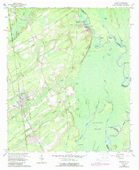
Editions of this 1962 Rincon Map
3 editions found
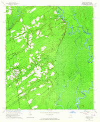
Historical Maps of Rincon Through Time
6 maps found
Featured Locations
Source Details
SourceU.S. Geological Survey
CopyrightPublic Domain