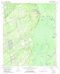
1962 Map of Rincon
USGS Topo · Published 1988About this map
The town of Rincon serves as a focal point along the Seaboard Coast Line railroad, surrounded by a complex network of waterways that define the Georgia-South Carolina border. In the west, the landscape is marked by family-named landmarks and cemeteries like Gnann Cem, Rahn Cem, and Willowpeg Cem, reflecting deep ancestral ties to the land. Moving east, the terrain transitions into the lowlands of Abercorn Island, where the Savannah River meanders through bends and points such as Hickory Bend and Lady Washington Point.
Find a feature on this map
63 named features on this map. Tap any name to fly to it.
Don’t see what you’re looking for? This feature index may not catch every label — zoom into the map to look around manually.
Map Details
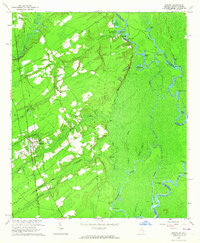
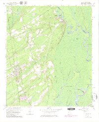
Editions of this 1962 Rincon Map
3 editions found
Other maps of this area

1919 · Egypt
USGS Topo · 1:62,500

1920 · Hardeeville
USGS Topo · 1:62,500

1920 · Meldrim
USGS Topo · 1:62,500

1939 · Egypt
USGS Topo · 1:62,500

1942 · Meldrim
USGS Topo · 1:62,500

1942 · Savannah
USGS Topo · 1:62,500

1943 · Hardeeville
USGS Topo · 1:62,500

1943 · Egypt
USGS Topo · 1:62,500

1947 · Savannah
USGS Topo · 1:250,000

1948 · Savannah
USGS Topo · 1:250,000