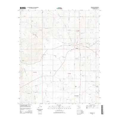
2015 Map of Ringgold
USGS Topo · Published 2015About this map
Ringgold serves as the primary hub in this portion of Bienville Parish, where the local road network converges around School St and Mill St. The landscape is defined by the winding course of Grand Bayou, which flows southward past the small settlements of Tullis and Woodardville. This 2015 survey reveals a terrain heavily influenced by its drainage systems, including Tennyson Cr to the north and Wimberly Br to the south.
Find a feature on this map
71 named features on this map. Tap any name to fly to it.
Don’t see what you’re looking for? This feature index may not catch every label — zoom into the map to look around manually.
Map Details
Editions of this 2015 Ringgold Map
This is the sole edition of this map. No revisions or reprints were ever made.
Other maps of this area

1941 · East Point
USGS Topo · 1:31,680

1941 · Bossier Point
USGS Topo · 1:31,680

1947 · Ringgold
USGS Topo · 1:62,500

1947 · Ashland
USGS Topo · 1:62,500

1948 · Coushatta
USGS Topo · 1:62,500

1948 · Jamestown
USGS Topo · 1:62,500

1949 · Jamestown
USGS Topo · 1:62,500

1955 · Shreveport
USGS Topo · 1:250,000

1956 · Shreveport
USGS Topo · 1:250,000

1956 · Ringgold
USGS Topo · 1:62,500