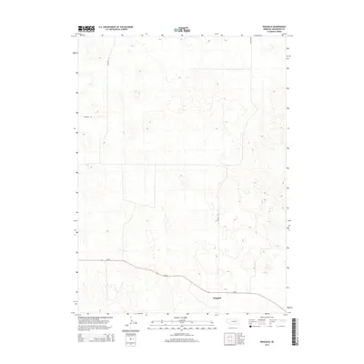
2014 Map of Ringgold
USGS Topo · Published 2014About this map
Ringgold sits at the junction of local transit routes in this sparsely settled region of McPherson County. This 2014 survey by the U.S. Geological Survey shows a landscape defined by rolling topography and a minimal road network characteristic of the Nebraska sandhills. The primary thoroughfare, Ne-92, cuts across the lower portion of the map, while north-south travel relies on Ringgold Rd. For those researching family history or local land use, the presence of Cemetery Rd in the northwestern quadrant indicates the location of important local landmarks that have persisted through the decades. The map illustrates the isolated nature of this rural community, where long stretches of terrain separate the few established names and structures.
Find a feature on this map
4 named features on this map. Tap any name to fly to it.
Don’t see what you’re looking for? This feature index may not catch every label — zoom into the map to look around manually.
Map Details
Editions of this 2014 Ringgold Map
This is the sole edition of this map. No revisions or reprints were ever made.
Other maps of this area

1899 · North Platte
USGS Topo · 1:125,000

1902 · North Platte
USGS Topo · 1:125,000

1949 · Cody Lake
USGS Topo · 1:62,500

1951 · Tryon
USGS Topo · 1:62,500

1951 · Cody Lake
USGS Topo · 1:62,500

1954 · North Platte
USGS Topo · 1:250,000

1956 · North Platte
USGS Topo · 1:250,000

1957 · North Platte
USGS Topo · 1:250,000

1967 · North Platte
USGS Topo · 1:250,000

1972 · Stapleton NW
USGS Topo · 1:24,000