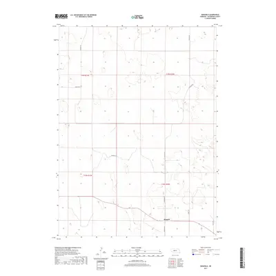
2017 Map of Ringgold
USGS Topo · Published 2017About this map
Ringgold sits at the heart of this landscape in the western Nebraska Sandhills, serving as a focal point for a remote ranching community in McPherson County. The layout of the land is defined by a sparse but vital network of section-line roads, including Ringgold Rd and N Ringgold Rd, which connect isolated homesteads across the undulating terrain. A clear emphasis on local access is evident in the naming of routes like Cemetery Rd, Trumball Dr, and Lovitt Rd, which likely trace their origins to the families that settled this portion of the Platte River basin. The map illustrates a typical Great Plains settlement pattern where a single small hub provides the primary infrastructure for a wide expanse of surrounding agricultural and grazing land.
Find a feature on this map
11 named features on this map. Tap any name to fly to it.
Don’t see what you’re looking for? This feature index may not catch every label — zoom into the map to look around manually.
Map Details
Editions of this 2017 Ringgold Map
This is the sole edition of this map. No revisions or reprints were ever made.
Other maps of this area

1899 · North Platte
USGS Topo · 1:125,000

1902 · North Platte
USGS Topo · 1:125,000

1949 · Cody Lake
USGS Topo · 1:62,500

1951 · Tryon
USGS Topo · 1:62,500

1951 · Cody Lake
USGS Topo · 1:62,500

1954 · North Platte
USGS Topo · 1:250,000

1956 · North Platte
USGS Topo · 1:250,000

1957 · North Platte
USGS Topo · 1:250,000

1967 · North Platte
USGS Topo · 1:250,000

1972 · Stapleton NW
USGS Topo · 1:24,000