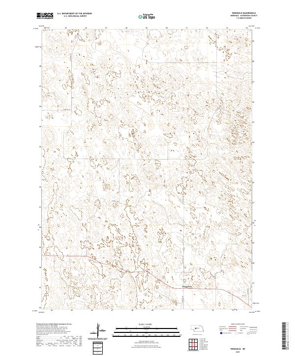
2021 Map of Ringgold
USGS Topo · Published 2021About this map
Ringgold sits as the primary settlement focus in this section of McPherson County, where the Sandhills landscape is defined by its topographic complexity rather than dense urbanization. The transport network reflects the region's agricultural and ranching foundations, with local routes like Ringgold Rd and N Ringgold Rd providing the essential connections through the undulating terrain. A clear indicator of the area's local history and community needs is found along Cemetery Rd, which branches north from the main east-west corridor. The map illustrates the structured Public Land Survey System with clearly defined township and range boundaries, including t19n r31w and t18n r30w, showing how the land was partitioned for homesteading and ranching. Other local roads such as Trumball Dr and Correll Dr provide access to remote acreage, characteristic of the Nebraska cattle country during the early twenty-first century.
Find a feature on this map
11 named features on this map. Tap any name to fly to it.
Don’t see what you’re looking for? This feature index may not catch every label — zoom into the map to look around manually.
Map Details
Editions of this 2021 Ringgold Map
This is the sole edition of this map. No revisions or reprints were ever made.
Other maps of this area

1899 · North Platte
USGS Topo · 1:125,000

1902 · North Platte
USGS Topo · 1:125,000

1949 · Cody Lake
USGS Topo · 1:62,500

1951 · Tryon
USGS Topo · 1:62,500

1951 · Cody Lake
USGS Topo · 1:62,500

1954 · North Platte
USGS Topo · 1:250,000

1956 · North Platte
USGS Topo · 1:250,000

1957 · North Platte
USGS Topo · 1:250,000

1967 · North Platte
USGS Topo · 1:250,000

1972 · Stapleton NW
USGS Topo · 1:24,000