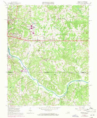
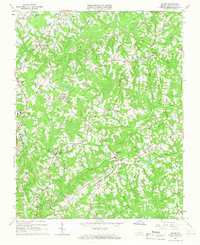
1965 Map of Ringgold
USGS Topo · Published 1971About this map
The Dan River carves a winding path through this borderland between Virginia and North Carolina, serving as a geographic anchor for the region's mid-century expansion. The map details the eastern fringes of Danville, where industrial growth is evident at the Danville Industrial Development Area and the Danville Municipal Airport. Transportation networks like the Southern railroad and the Norfolk and Danville corridor link the urban center to smaller rural communities such as Ringgold and Blanch.
Find a feature on this map
62 named features on this map. Tap any name to fly to it.
Don’t see what you’re looking for? This feature index may not catch every label — zoom into the map to look around manually.
Map Details
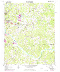
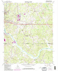
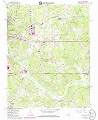
Editions of this 1965 Ringgold Map
5 editions found

Other maps of this area

1923 · Danville
USGS Topo · 1:48,000

1925 · Danville
USGS Topo · 1:62,500

1952 · Milton
USGS Topo · 1:62,500

1953 · Greensboro
USGS Topo · 1:250,000

1954 · Greensboro
USGS Topo · 1:250,000

1956 · Milton
USGS Topo · 1:62,500

1962 · Greensboro
USGS Topo · 1:250,000

1964 · Mount Hermon
USGS Topo · 1:24,000
1964 · Blairs
USGS Topo · 1:24,000

1965 · Danville
USGS Topo · 1:24,000