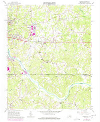
1965 Map of Ringgold
USGS Topo · Published 1978About this map
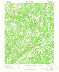
The Dan River meanders across the border between Virginia and North Carolina, anchoring a landscape shaped by mid-century industrial expansion and deep-rooted rural communities. In the northwest, the Danville Industrial Development Area and Danville Municipal Airport signal the post-war growth of Danville, while established neighborhoods like Glenwood and Dundee bridge the gap between urban centers and the countryside. Landmarks like the Drive-in Theatre and various trailer parks reflect the era's changing social patterns alongside the heavy rail presence of the Southern and Norfolk Franklin and Danville railroads.
Find a feature on this map
65 named features on this map. Tap any name to fly to it.
Don’t see what you’re looking for? This feature index may not catch every label — zoom into the map to look around manually.
Map Details
Editions of this 1965 Ringgold Map
5 editions found

Other maps of this area

1923 · Danville
USGS Topo · 1:48,000

1925 · Danville
USGS Topo · 1:62,500

1952 · Milton
USGS Topo · 1:62,500

1953 · Greensboro
USGS Topo · 1:250,000

1954 · Greensboro
USGS Topo · 1:250,000

1956 · Milton
USGS Topo · 1:62,500

1962 · Greensboro
USGS Topo · 1:250,000

1964 · Mount Hermon
USGS Topo · 1:24,000
1964 · Blairs
USGS Topo · 1:24,000

1965 · Danville
USGS Topo · 1:24,000