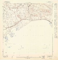
1960 Map of Rio Descalabrado
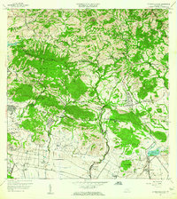
USGS Topo · Published 1962This historical map portrays the area of Rio Descalabrado in 1960, primarily covering Santa Isabel Municipio as well as portions of Juana Díaz Municipio, Coamo Municipio, and Villalba Municipio. Featuring a scale of 1:20000, this map provides a highly detailed snapshot of the terrain, roads, buildings, counties, and historical landmarks in the Rio Descalabrado region at the time. Published in 1962, it is one of 2 known editions of this map due to revisions or reprints.
Map Details
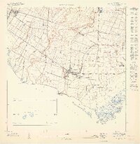
Editions of this 1960 Rio Descalabrado Map
2 editions found
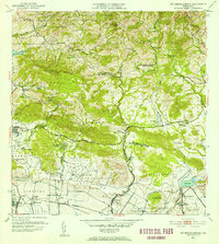
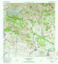
Historical Maps of Sector Caribe Through Time
7 maps found
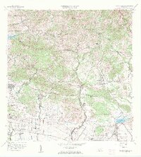
1945 Rio Descalabrado
Santa Isabel Municipio, PR
1947 Rio Descalabrado SE
Santa Isabel Municipio, PR
1947 Salinas NO
Santa Isabel Municipio, PR
1947 Santa Isabel NE
Santa Isabel Municipio, PR
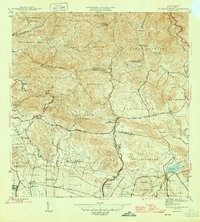
1952 Rio Descalabrado
Santa Isabel Municipio, PR
1960 Rio Descalabrado
Santa Isabel Municipio, PR
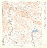
1972 Rio Descalabrado
Santa Isabel Municipio, PR
Featured Locations
- Villa Geraldina, Juana Díaz
- Sector Sierrita, Coamo
- Sector Verdún, Coamo
- Comunidad Johnny Tosco, Coamo
- Quintas del Llano, Coamo