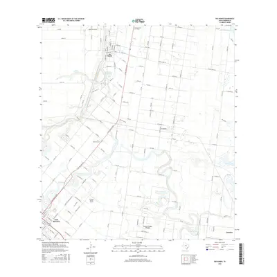
2016 Map of Rio Hondo
USGS Topo · Published 2016About this map
The winding Arroyo Colorado carves through this Cameron County landscape, anchoring the community of Rio Hondo. The area’s reliance on water management is evident in the numerous impoundments, including the Abbott Reservoir, Montgomery Reservoir, and the distantly placed Reservoir Number Seven. These water bodies and the surrounding canal networks, such as the Lateral R Canal, define the agricultural productivity of the Rio Grande Valley.
Find a feature on this map
131 named features on this map. Tap any name to fly to it.
Don’t see what you’re looking for? This feature index may not catch every label — zoom into the map to look around manually.
Map Details
Editions of this 2016 Rio Hondo Map
This is the sole edition of this map. No revisions or reprints were ever made.
Other maps of this area

1929 · Rio Hondo
USGS Topo · 1:24,000

1929 · Harlingen
USGS Topo · 1:24,000

1929 · La Paloma
USGS Topo · 1:24,000

1930 · Los Fresnos
USGS Topo · 1:24,000

1930 · Barreda
USGS Topo · 1:24,000

1930 · La Leona
USGS Topo · 1:24,000

1930 · Laguna Atascosa
USGS Topo · 1:24,000

1932 · Combes
USGS Topo · 1:31,680

1932 · Rio Hondo
USGS Topo · 1:31,680

1932 · Harlingen
USGS Topo · 1:31,680