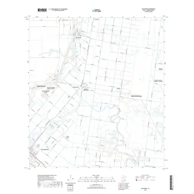
2019 Map of Rio Hondo
USGS Topo · Published 2019About this map
Rio Hondo serves as a central hub in this Cameron County landscape, where the winding course of the Arroyo Colorado dictates the placement of early settlements and water infrastructure. The map reveals a complex network of colonias and established communities, including Lozano, Arroyo Gardens, and Villa del Sol, interspersed with vital irrigation and storage features like the Abbott Reservoir, Montgomery Reservoir, and the Lateral R Canal. These water management systems are essential to the region's agricultural character, defining the boundaries between cultivated lands and residential areas.
Find a feature on this map
143 named features on this map. Tap any name to fly to it.
Don’t see what you’re looking for? This feature index may not catch every label — zoom into the map to look around manually.
Map Details
Editions of this 2019 Rio Hondo Map
This is the sole edition of this map. No revisions or reprints were ever made.
Other maps of this area

1929 · Rio Hondo
USGS Topo · 1:24,000

1929 · Harlingen
USGS Topo · 1:24,000

1929 · La Paloma
USGS Topo · 1:24,000

1930 · Los Fresnos
USGS Topo · 1:24,000

1930 · Barreda
USGS Topo · 1:24,000

1930 · La Leona
USGS Topo · 1:24,000

1930 · Laguna Atascosa
USGS Topo · 1:24,000

1932 · Combes
USGS Topo · 1:31,680

1932 · Rio Hondo
USGS Topo · 1:31,680

1932 · Harlingen
USGS Topo · 1:31,680