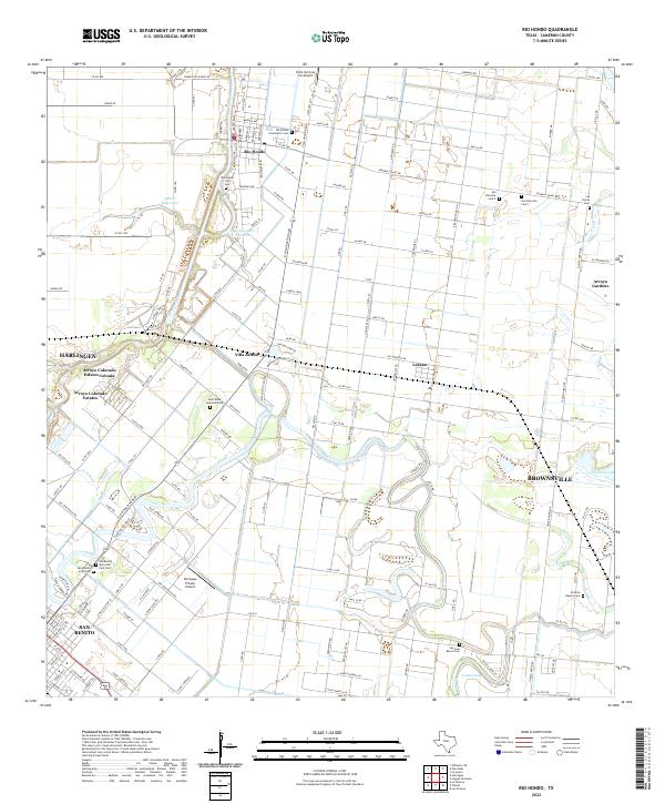
2022 Map of Rio Hondo
USGS Topo · Published 2022About this map
Rio Hondo serves as the focal point of this Cameron County landscape, where the meandering Arroyo Colorado dictates the layout of local infrastructure and agriculture. The map documents a complex network of rural roads and irrigation features, including the Lateral R Canal, which support the region's citrus and farming interests. Significant local history is preserved in the numerous burial grounds scattered throughout the quadrangle, ranging from the Rio Hondo City Cem and Rio Hondo Community Cem to more remote sites like the San Jose Ranch Cem and Las Yescas Cem. The transition from urban centers like Harlingen and San Benito into the smaller clusters of Lozano and Arroyo Gardens reflects the modern development patterns of the Lower Rio Grande Valley. Aviation history is also represented through specialized sites such as the Kornegay Private Airport and the Farm Services Inc Airport.
Find a feature on this map
148 named features on this map. Tap any name to fly to it.
Don’t see what you’re looking for? This feature index may not catch every label — zoom into the map to look around manually.
Map Details
Editions of this 2022 Rio Hondo Map
This is the sole edition of this map. No revisions or reprints were ever made.
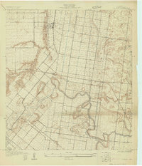
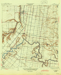
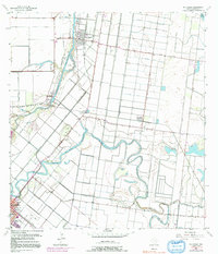
Historical Maps of Port Harlingen Through Time
4 maps found