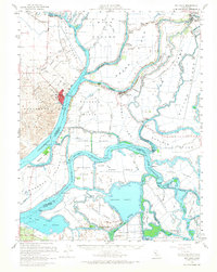
1952 Map of Rio Vista
USGS Topo · Published 1966About this map
The Sacramento River and San Joaquin River converge in this intricate portrait of the California Delta, where a complex network of levees and sloughs defines the agricultural landscape. The town of Rio Vista serves as a focal point, showing its grid and the Rio Vista High School just south of the Montezuma Hills. Numerous sunken tracts and reclaimed islands, such as Franks Tract and Webb Tract, illustrate the perpetual engineering required to manage this low-lying region. Smaller river settlements like Isleton, Locke, and Walnut Grove appear along the northern waterways, supported by river landings and the Liberty Island Ferry. The map also captures the early energy development of the region, dotted with numerous Gas Wells across Brannan Island and Twitchell Island, marking the intersection of the delta's traditional farming economy and its growing industrial value.
Find a feature on this map
111 named features on this map. Tap any name to fly to it.
Don’t see what you’re looking for? This feature index may not catch every label — zoom into the map to look around manually.
Map Details
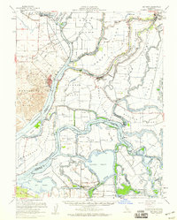
Editions of this 1952 Rio Vista Map
2 editions found
Other maps of this area

1894 · Lodi
USGS Topo · 1:125,000

1896 · Mt. Diablo
USGS Topo · 1:62,500

1898 · Mt. Diablo
USGS Topo · 1:62,500

1907 · Antioch
USGS Topo · 1:62,500

1908 · Vacaville
USGS Topo · 1:62,500

1908 · Courtland
USGS Topo · 1:62,500

1908 · Antioch
USGS Topo · 1:62,500

1910 · New Hope
USGS Topo · 1:31,680

1910 · Rio Vista
USGS Topo · 1:31,680

1910 · Bouldin
USGS Topo · 1:31,680