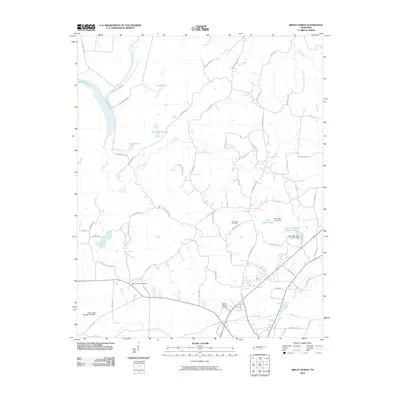
2010 Map of Ripley North
USGS Topo · Published 2010About this map
Old Bed Forked Deer River and its associated wetlands define the western landscape of this Lauderdale County survey. The area is marked by numerous water bodies, including the serpentine Chisholm Lake, and several small lakes created by water management efforts such as Cane Creek Lake Number Nine and its accompanying Cane Creek Dam Number Nine. These man-made features contrast with the natural scattering of isolated ponds like Jennings Pond and Gum Pond that sit between the low-lying creeks. Local heritage is grounded in sites like Mount Pleasant Cemetery and New Hope Cemetery, while the modern transportation network is anchored by Industrial Dr and the private Flying I Ranch Airport. The map documents a rural landscape where agricultural land use and watershed engineering exist alongside old river meanders.
Find a feature on this map
62 named features on this map. Tap any name to fly to it.
Don’t see what you’re looking for? This feature index may not catch every label — zoom into the map to look around manually.
Map Details
Editions of this 2010 Ripley North Map
This is the sole edition of this map. No revisions or reprints were ever made.
Other maps of this area

1939 · Hales Point
USGS Topo · 1:62,500

1939 · Halls
USGS Topo · 1:62,500

1952 · Hales Point
USGS Topo · 1:62,500

1952 · Gates
USGS Topo · 1:24,000

1952 · Fowlkes
USGS Topo · 1:24,000

1956 · Blytheville
USGS Topo · 1:250,000

1959 · Blytheville
USGS Topo · 1:250,000

1961 · Hales Point
USGS Topo · 1:62,500

1961 · Rialto
USGS Topo · 1:62,500

1961 · Halls
USGS Topo · 1:62,500