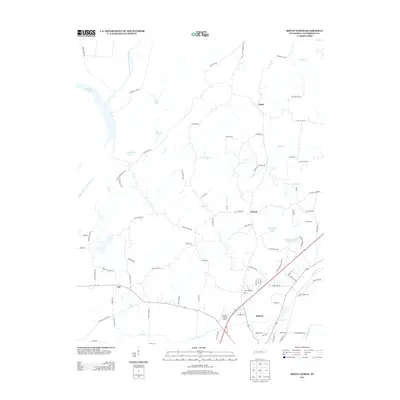
2013 Map of Ripley North
USGS Topo · Published 2013About this map
Ripley serves as the southern anchor for this section of Lauderdale County, where the landscape transitions from established town blocks to the sprawling wetlands of the West Tennessee river systems. The northern reaches are defined by the winding paths of the Middle Fork Forked Deer River and the Old Bed Forked Deer River, creating a complex network of backwaters including Chisholm Lake, Gum Pond, and Jennings Pond. This hydrologic pattern suggests a long history of flood-plain management and seasonal changes in the drainage basins north of the city.
Find a feature on this map
88 named features on this map. Tap any name to fly to it.
Don’t see what you’re looking for? This feature index may not catch every label — zoom into the map to look around manually.
Map Details
Editions of this 2013 Ripley North Map
This is the sole edition of this map. No revisions or reprints were ever made.
Other maps of this area

1939 · Hales Point
USGS Topo · 1:62,500

1939 · Halls
USGS Topo · 1:62,500

1952 · Hales Point
USGS Topo · 1:62,500

1952 · Gates
USGS Topo · 1:24,000

1952 · Fowlkes
USGS Topo · 1:24,000

1956 · Blytheville
USGS Topo · 1:250,000

1959 · Blytheville
USGS Topo · 1:250,000

1961 · Hales Point
USGS Topo · 1:62,500

1961 · Rialto
USGS Topo · 1:62,500

1961 · Halls
USGS Topo · 1:62,500