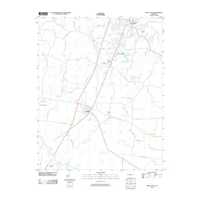
2010 Map of Ripley South
USGS Topo · Published 2010About this map
Henning and the southern reaches of Ripley anchor this Lauderdale County landscape during a period of modern local development. The terrain is defined by the winding course of the Hatchie River along the southwestern corner and a network of creeks and man-made reservoirs, including Cane Creek Lake Number Nineteen and Ried Dunavant Lake. A high density of rural burial grounds, such as Bethlehem Cemetery, Canfield Cemetery, and the Garden of Everlasting Life, offers significant data points for genealogists and local historians tracing family lineages across the county. The road network connects established centers like the Ripley Post Office to outlying areas via routes like Asbury Glimp Rd and Jack Crutcher Rd, illustrating the spatial relationship between the town centers and the surrounding agricultural and residential developments of the early 21st century.
Find a feature on this map
60 named features on this map. Tap any name to fly to it.
Don’t see what you’re looking for? This feature index may not catch every label — zoom into the map to look around manually.
Map Details
Editions of this 2010 Ripley South Map
This is the sole edition of this map. No revisions or reprints were ever made.
Other maps of this area

1939 · Hales Point
USGS Topo · 1:62,500

1939 · Halls
USGS Topo · 1:62,500

1952 · Hales Point
USGS Topo · 1:62,500

1952 · Gates
USGS Topo · 1:24,000

1956 · Blytheville
USGS Topo · 1:250,000

1959 · Blytheville
USGS Topo · 1:250,000

1961 · Hales Point
USGS Topo · 1:62,500

1961 · Rialto
USGS Topo · 1:62,500

1961 · Halls
USGS Topo · 1:62,500

1962 · Rialto
USGS Topo · 1:62,500