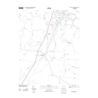
2013 Map of Ripley South
USGS Topo · Published 2013About this map
The Ripley and Henning corridors define this portion of Lauderdale County, where the landscape transitions from established town grids into a complex network of rural routes and watercourses. To the south, the Hatchie River meanders through the bottomlands, while the northern reaches are dominated by the residential and commercial layout of Ripley, including numerous streets named for early families.
Find a feature on this map
125 named features on this map. Tap any name to fly to it.
Don’t see what you’re looking for? This feature index may not catch every label — zoom into the map to look around manually.
Map Details
Editions of this 2013 Ripley South Map
This is the sole edition of this map. No revisions or reprints were ever made.
Other maps of this area

1939 · Hales Point
USGS Topo · 1:62,500

1939 · Halls
USGS Topo · 1:62,500

1952 · Hales Point
USGS Topo · 1:62,500

1952 · Gates
USGS Topo · 1:24,000

1956 · Blytheville
USGS Topo · 1:250,000

1959 · Blytheville
USGS Topo · 1:250,000

1961 · Hales Point
USGS Topo · 1:62,500

1961 · Rialto
USGS Topo · 1:62,500

1961 · Halls
USGS Topo · 1:62,500

1962 · Rialto
USGS Topo · 1:62,500