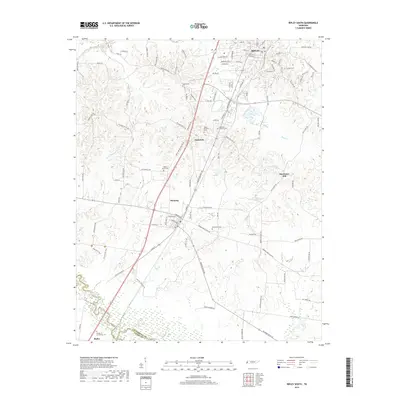
2019 Map of Ripley South
USGS Topo · Published 2019About this map
The town of Henning serves as a central hub in this modern Lauderdale County survey, situated along the corridor of the Canadian National railroad. The landscape transitions from the residential streets of southern Ripley to the rural expanses of Opossum and the small settlement of Rialto near the southern border with Tipton County. This area is characterized by numerous family and community burial grounds, including Poplar Grove Cem, Bethlehem Cem, and Asbury Cem, which provide significant points of interest for genealogical research.
Find a feature on this map
110 named features on this map. Tap any name to fly to it.
Don’t see what you’re looking for? This feature index may not catch every label — zoom into the map to look around manually.
Map Details
Editions of this 2019 Ripley South Map
This is the sole edition of this map. No revisions or reprints were ever made.
Other maps of this area

1939 · Hales Point
USGS Topo · 1:62,500

1939 · Halls
USGS Topo · 1:62,500

1952 · Hales Point
USGS Topo · 1:62,500

1952 · Gates
USGS Topo · 1:24,000

1956 · Blytheville
USGS Topo · 1:250,000

1959 · Blytheville
USGS Topo · 1:250,000

1961 · Hales Point
USGS Topo · 1:62,500

1961 · Rialto
USGS Topo · 1:62,500

1961 · Halls
USGS Topo · 1:62,500

1962 · Rialto
USGS Topo · 1:62,500