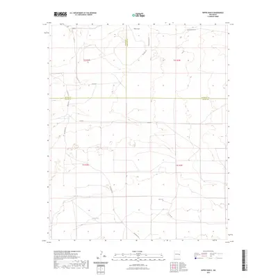
2023 Map of Rippee Ranch
USGS Topo · Published 2023About this map
The high plains where De Baca, Roosevelt, and Chaves counties converge define this corner of New Mexico. This landscape is marked by a sparse network of ranch roads and township lines, including t2s r28e and t3s r29e, reflecting the structured land management of the American West. The ephemeral White Draw provides the primary drainage through the northern reaches, while human presence is anchored by small, local landmarks like Liston Cem situated along Tinnie Rd. The road network, including San Patricio Rd and S Roosevelt Road 10, suggests a quiet, wide-open grazing region where distance is measured by county lines and local road designations like Adobe Rd.
Find a feature on this map
18 named features on this map. Tap any name to fly to it.
Don’t see what you’re looking for? This feature index may not catch every label — zoom into the map to look around manually.
Map Details
Editions of this 2023 Rippee Ranch Map
This is the sole edition of this map. No revisions or reprints were ever made.
Other maps of this area

1954 · Fort Sumner
USGS Topo · 1:250,000

1954 · Clovis
USGS Topo · 1:250,000

1954 · Brownfield
USGS Topo · 1:250,000

1955 · Roswell
USGS Topo · 1:250,000

1958 · Brownfield
USGS Topo · 1:250,000

1958 · Fort Sumner
USGS Topo · 1:250,000

1958 · Clovis
USGS Topo · 1:250,000

1958 · Roswell
USGS Topo · 1:250,000

1962 · Roswell
USGS Topo · 1:250,000

1962 · Brownfield
USGS Topo · 1:250,000